Let’s Start Work
Together
Please feel free to contact us. We will get back to you. Or just call us now.


Our Solutions & Benefits
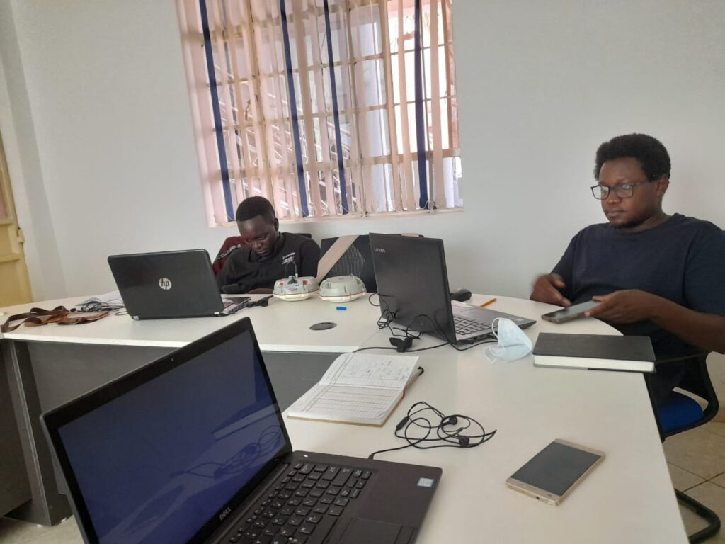
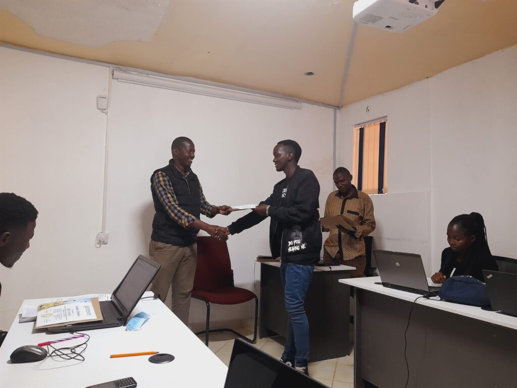
We believe that your level of technical expertise should not be a limiting factor in what you can achieve within your projects, which is why we understand the importance of accessibility. Our equipment specialists are experienced in dealing with everyone from absolute beginners all the way through to certified technical experts, and are here to guide you through your project from initial point of contact, all the way through the project completion.
1) Training on use and application of level and total station
Preamble: This course exposes the participant to aspects of the use and applications of modern total station. Basic concepts and specifications of Level, Theodolite, total station and GPS System followed by practical exercises shall be addressed.
Target group: The qualifying participants shall be Land surveyors, Engineers,
Earth Research Scientists, and Cartographers among others requiring to use Level,
Theodolite, Total station and GPS System in their applications.
Duration: 10 – 15 days
Our Surveying instrument user training courses include Levels, Theodolites, Total Station and GPS Systems Training for all types of surveying instrument brands or manufacturer
2) Training on use and application of GPS and GNNS systems
Preamble: The purpose of the course is to provide knowledge and technical skills in GPS and GNSS technologies for date collection and navigation applications.
Target group: The qualifying participants shall be land surveyors, geodesist engineers and earth research scientists.
Duration: 10 days
3) Training on geospatial application software
Preamble: The purpose of the course is to impact knowledge and technical skills in:
a) AUTOCAD Drawing using AutoCAD civil 3D for applications in various applications including cadastral, road and highway designs, building and other structural designs b) ArcGIS
c) QGIS
d) ERADAS
e) Mobile GIS
Duration: 3-15 days depending on the application software s
Preamble: it is a two weeks course and is aimed at imparting skills in the care and maintenance of surveying instruments.
Target group: The qualifying participants shall be land surveyors, electronic technicians, or anybody interested to do the course but has basic computer, mechanical and electronic skills.
Duration: 10 days
